The Winter Weather Advisory, issued for the western slope of the northern Sierra Nevada, will continue until 4 AM Sunday. The Winter Storm Warning issued for Yosemite National Park, above the Valley floor, will also continue until 4 AM Sunday.
According to the National Weather Service, heavy snow remains in the forecast for elevations above 6,500 feet.
The heaviest snow is expected early this morning (Saturday).
Additional snow accumulations above the 7,000 foot elevation, will range from four inches to two feet.
Winds will continue to gust from forty-five to sixty mph, over the highest peaks. Strong, gusty winds could bring down tree branches and cause tree damage.
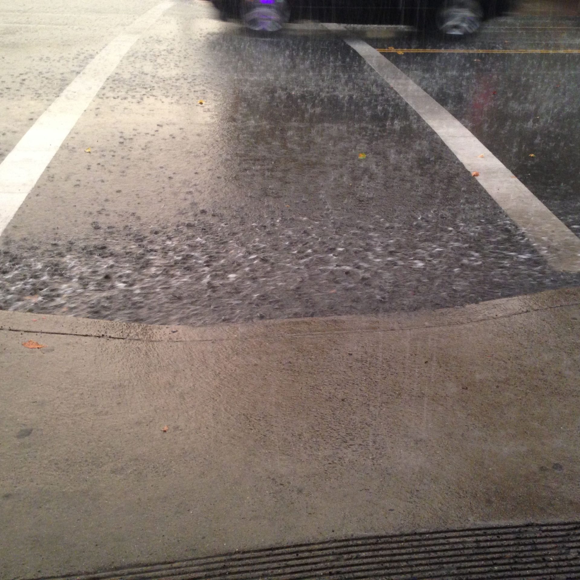
Roads, and especially bridges and overpasses, will likely become slick and hazardous. Plan on slippery travel conditions with mountain travel delays and chain controls. Travel could be very difficult to impossible. If you must travel, keep an extra flashlight, food, and water in your vehicle in case of an emergency.
Persons should delay all travel if possible. If travel is absolutely necessary, drive with extreme caution and be prepared for sudden changes in visibility. Leave plenty of room between you and the motorist ahead of you, and allow extra time to reach your destination. Avoid sudden braking or acceleration, and be especially cautious on hills or when making turns. Make sure your car is winterized and in good working order.
Additionally, a Flood Watch remains in effect for the Yosemite Valley, as well as the lower Sierra Nevada and foothills of Mariposa County, until late tonight (Saturday). A Flood Watch is also in effect for the western slope of the northern Sierra Nevada, the Mother Lode and the northern San Joaquin Valley, until Sunday evening.
Periods of moderate to excessive, heavy rainfall is expected over the next two days, with totals ranging from one to three inches in the Central Valley, three to eight inches in the Mother Lode and five to ten inches in the Sierra Nevada below 6,500 feet. The potential for flooding caused by such excessive rainfall, is possible.
The heaviest rain is expected through this afternoon (Saturday).
Excessive runoff will result in sharp rises on rivers, creeks, and streams. Creeks and streams may rise out of their banks. it could also result in the flooding of rivers, creeks, streams, and other low-lying and low water crossings and other flood-prone locations. Flooding may occur in poor drainage and urban areas. There is the potential for mud and rock slides in the foothills.
You should monitor later forecasts and be alert for possible Flood Warnings. Those living in areas prone to flooding should be prepared to take action should flooding develop.
Colder storms with lower snow levels and heavier snow amounts are expected next week.