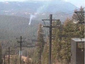
Mi-Wuk, CA — Pile Burning has begun in the Mi-Wok Ranger District. Approximately 300 acres of piles will be burned continuing through late spring of 2012. Each machine pile will burn for a few weeks.
There are also two prescribed burns that began yesterday: Sand Bar Flat and North Beardsley Underburn.
Sand Bar Flat Underburn is located on the south facing slope above the Middle Fork of the Stanislaus River, approximately a quarter of a mile downstream from the Southern Powerhouse. The eastern edge of the burn is across the Middle Fork of Stanislaus River from Sand Bar Flat Campground. The project area extends approximately two and a half miles toward the west. 1,000 acres of the eastern block was burned in April, the remaining 1,000 acres will be burned over the next 9-12 days contingent on weather, fuel moisture, and air quality. This is in both the Summit and Calaveras Ranger Districts and a joint project with Sierra Pacific Industries.
The North Beardsley Underburn will continue for the next four to eight days burning a total of 326 acres with low-intensity fire. Smoke might be visible from the Highway 108 corridor and Forest Service Road 5N02. There will be smoke in the canyons during the night and early morning.
If you are interested in monitoring the smoke you may be able to see it on one of the webcams we link to. Check out our webcam page.


