Forecasters still predict highly active Atlantic hurricane season in mid-season update

MIAMI (AP) — Federal forecasters are still predicting a highly active Atlantic hurricane season thanks to near-record sea surface temperatures and the possibility of La Nina, officials said Thursday.
The National Oceanic and Atmospheric Administration’s updated hurricane outlook said atmospheric and oceanic conditions have set the stage for an extremely active hurricane season that could rank among the busiest on record.
“The hurricane season got off to an early and violent start with Hurricane Beryl, the earliest category-5 Atlantic hurricane on record,” NOAA Administrator Rick Spinrad said in a statement. “NOAA’s update to the hurricane seasonal outlook is an important reminder that the peak of hurricane season is right around the corner, when historically the most significant impacts from hurricanes and tropical storms tend to occur.”
Not much has changed from predictions released in May. Forecasters tweaked the number of expected named storms from 17 to 25 to 17 to 24. Of those named storms, 8 to 13 are still likely to become hurricanes with sustained winds of at least 75 mph (121 kph), including 4 to 7 major hurricanes with at least 111 mph (179 kph) winds.
An average Atlantic hurricane season produces 14 named storms, seven of them hurricanes and three major hurricanes. Hurricane season runs from June 1 through Nov. 30.
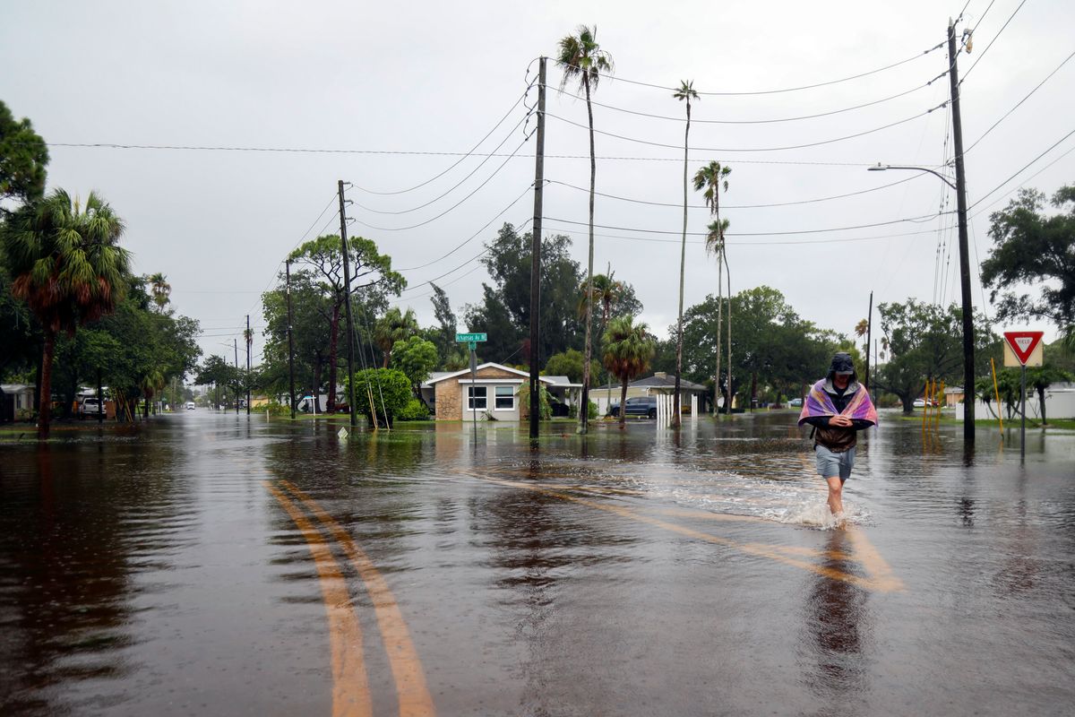
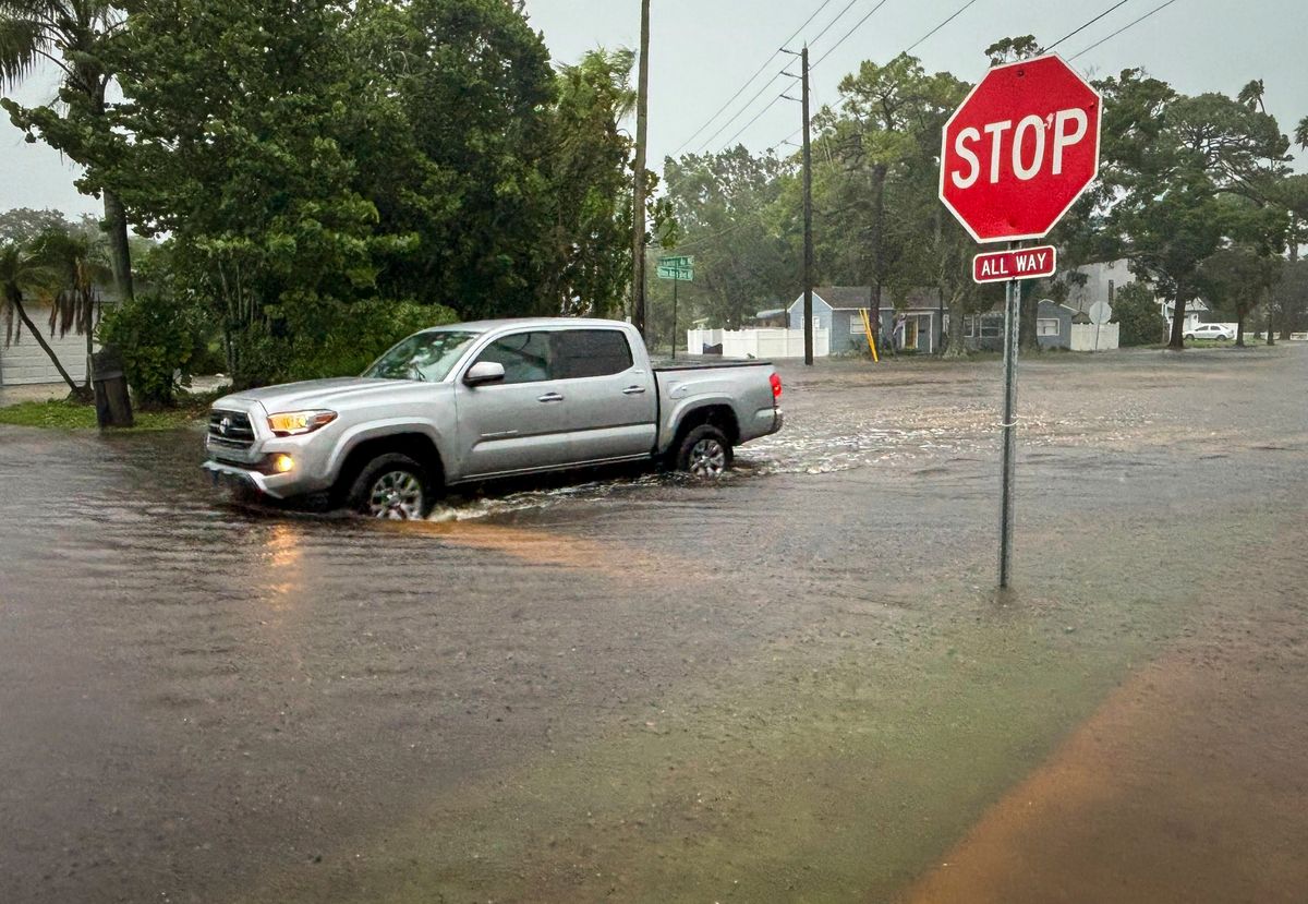
The updated outlook includes two tropical storms and two hurricanes that have already formed this year. The latest storm, Hurricane Debby, hit the Gulf Coast of Florida on Monday and was still moving through the Carolinas as a tropical storm on Thursday.
Storm names are selected from one of six rotating alphabetic lists of 21 names, maintained by the World Meteorological Organization, skipping the letters Q, U, X, Y and Z because there aren’t many common names that begin with those letters. The names rotate from year to year and alternate between male and female names. Names of significant storms are retired and replaced.
Starting with the 2021 hurricane season, a supplemental list of names was created for seasons with more than 21 named storms. Before that, storms were named after Greek letters, which happened in 2005 and 2020.
When meteorologists look at how busy a hurricane season is, two factors matter most: ocean temperatures in the Atlantic where storms spin up and need warm water for fuel, and whether there is a La Nina or El Nino, the natural and periodic cooling or warming of Pacific Ocean waters that changes weather patterns worldwide. A La Nina tends to turbocharge Atlantic storm activity while depressing storminess in the Pacific and an El Nino does the opposite.
La Nina usually reduces high-altitude winds that can decapitate hurricanes, and generally during a La Nina there is more instability or storminess in the atmosphere, which can seed hurricane development. Storms get their energy from hot water. An El Nino that contributed to record warm ocean temperatures for about a year ended in June, and forecasters are expecting a La Nina to emerge some time between September and November. That could overlap with peak hurricane season, which is usually from mid-August to mid-October.
Even with last season’s El Nino, which usually inhibits storms, warm water still led to an above-average hurricane season. Last year had 20 named storms, the fourth-highest since 1950 and far more than the average of 14. An overall measurement of the strength, duration and frequency of storms had last season at 17% bigger than normal.