Located on highway 12 southeast of Camanche Reservoir, past Wallace on highway 12. It is about one hour from Sacramento or Stockton and two hours from the Bay area. Our Map of Burson
Fishing here is a big draw, Amador Lake especially contains giant Donaldson-strain cutbow salmonids. The Lockhart family at Amador Fish Hatchery say that more than 50 years of research went into producing this fish, which is 30 percent steelhead, 50 percent rainbow and 20 percent cutthroat. They are hard fighting, surface-dwelling and acrobatic.
Camanche Recreation Area offers not only fishing, but swimming, windsurfing, water-skiing and jet-skiing. Both shores offer comfortable campgrounds or you can rent cottages. Recreational vehicles can hook up for the night or for up to eight months at South Shore. For a map of the facilities at Lake Camanche click here.
The Mokelumne Coast to Crest Trail (MCCT) will be a scenic non-motorized, multi-user trail corridor extending from the Pacific Ocean near San Francisco Bay to the crest of the Sierra Nevada Mountains. Martinez Shoreline Regional Park in western Contra Costa County and the Pacific Crest Trail at Ebbetts Pass in the High Sierra form the western and eastern anchor points. Mymotherlode reported on a “Poker Ride To Benefit Mokelumne Coast To Crest Trail” to view the article click here.
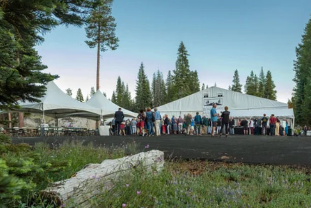 Bear Valley Music Festival Celebrates America 250
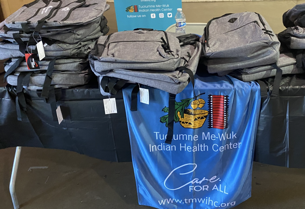 5th Annual ‘Back To School Bash’ Is Planned Along With 'Touch-A-Truck'
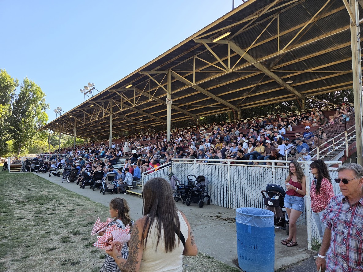 Mother Lode Fair Attendance Up, Livestock Auction Results