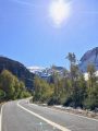
Dardanelle is located in the beautiful Sierra Nevada Mountains but the area was devastated by the Donnell Fire in 2018. It offers a resting point before the climb to the second-highest pass in the Sierra Nevada range, the Sonora Pass, at a lofty elevation of 9,628 feet. Dardanelle offers vista views of granite cliffs. The Stanislaus River rushes down the rocky terrain with plenty of fish for the summer RV and tent campers. Visit the camping section in the recreation guide.
Dardanelle is 51 miles East of Sonora, past Twain Harte, Pinecrest and Long Barn on Highway 108. Our Map of Dardanelle Southeast of the area is Emigrant Wilderness and below that Yosemite National Park. Emigrant Wilderness is wonderful to explore on horseback, for more about horseback riding in the Mother Lode visit the recreation guide.
Dardanelle’s population is officially 20, that’s right 20, because it is often below freezing during the summer nights and you have to love the annual 50 inches of precipitation, with 80% falling as snow. Get yourself a snow tractor and snow mobile because the pass is generally closed November through May!
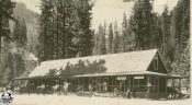
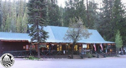
Dardanelles Resort, established in 1923, was destroyed in the Donnell Fire. East of Dardanelle the Kennedy Meadows Resort, survived. Management of the land was taken over by Tuolumne County.

To experience the pass in a heart-pounding bike ride check out the biking information in the recreation section or visit the blog of someone who did at Bike the Sonora Pass. Don’t forget to check out the Columns of the Giants. These columnar basalt cliffs differ from the mostly granite rock faces of Yosemite, and were carved away by glaciers.
 Third Weekend in July Events
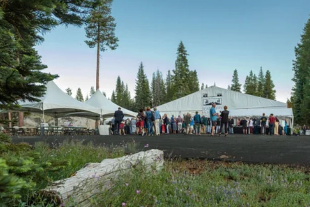 Bear Valley Music Festival Celebrates America 250
 5th Annual ‘Back To School Bash’ Is Planned Along With 'Touch-A-Truck'