



 Originally named Musquito Gulch, postal authorities established it in 1869 and reestablished it in 1873. They changed the name to Glencoe in 1878 discontinued it in 1916 and reestablished it in 1947. I.P. Terwilliger, a pioneer of Calaveras County, first applied the name “Glencoe” to the place. -Durham’s Place-Names.
December of 2007 myMotherLode reported “Historic Bell Discovered In Glencoe” click to read the story.
The elevation is 2,743 feet above sea level with a population of 189 individuals. It is 58 miles to Sacramento 36 to Stockton and a three-hour drive to the bay area. 10 miles east and a little north on Highway 26 from Mokelumne Hill, just west of Rail Road Flat and south of Wilseyville and West Point. Our Map of Glencoe.
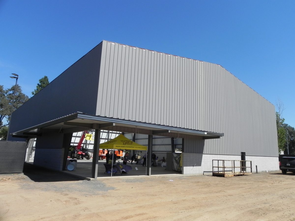 YSF Phonathon A Success
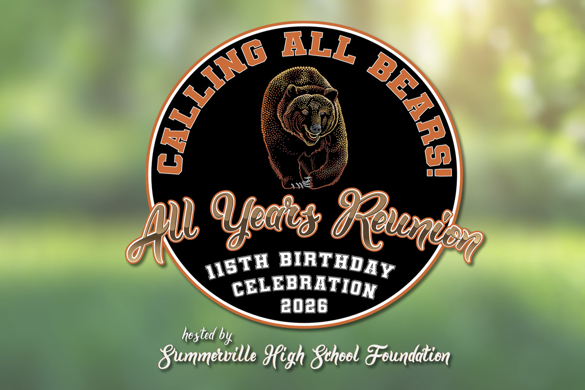 Calling All Summerville Bears To Celebrate 115 Years
 Learning Skills For EV Charging Careers