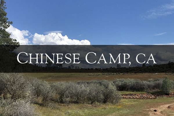
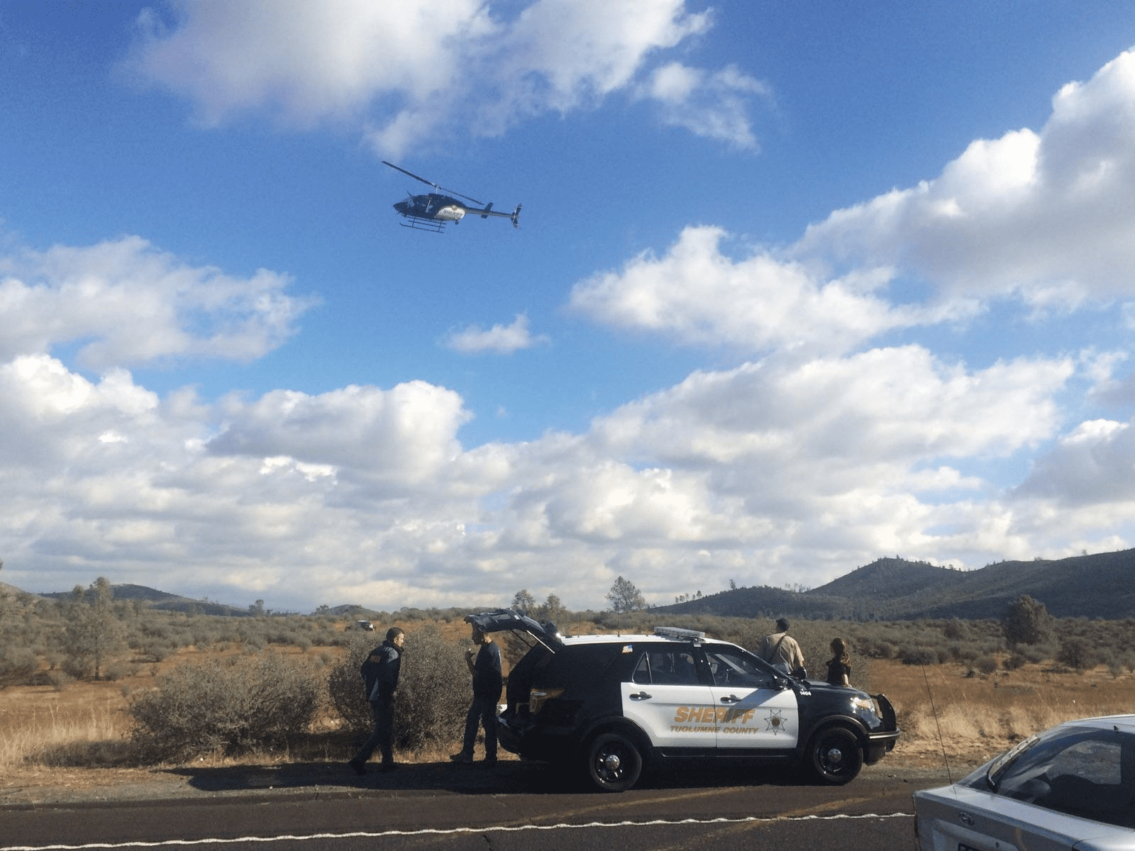
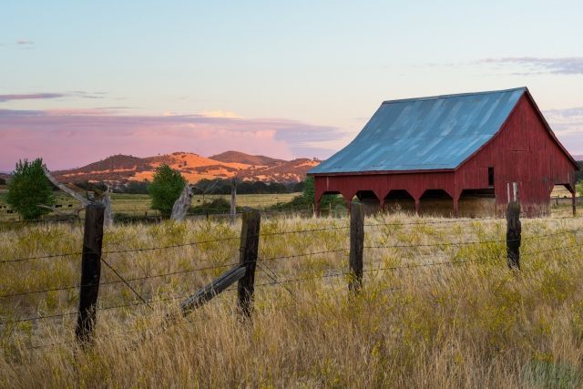
 Chinese Camp is a small town located at the junction of Highway 49 north and Highway 120 west. On September 2nd 2025 the 6-5 fire burned 6,935 acres and was part of many smaller TCU Lightning complex fires. An overview of the efforts to fight the TCU Lightning Complex Fire fire is here. About 95 structures in Chinese Camp were burned including 45 homes. Before the incident the population was about 150. During the gold rush it is estimated that 5,000 called it home.
The modern Chinese Camp School, in keeping with the town’s name, has a low, red, pagoda-style roof. See below for a map and a video of Chinese Camp.
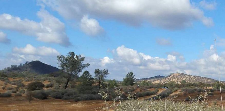
Chinese Camp is north of Lake Don Pedro with its many camp grounds, water sports and fishing. You can even rent a house boat to take in the lake at your leisure. In California, foreign vegetation has taken over much of the open range and foothills. The Red Hills were set aside as an Area of Critical Environmental Concern or a “biological island” by the federal government.
This area is only one mile southwest of Chinese Camp on Red Hills Road. Visitors can see most of the Red Hills on various loop trails, which total about 17.3 miles. Hiking in the Red Hills Management Area is easy on open footpaths and gentle slopes. Other activities include wildflower viewing, nature study, horseback riding, and amateur prospecting. To protect the fragile resources of the area, in 1991 target shooting and off-road vehicle use were prohibited. More photos are here.
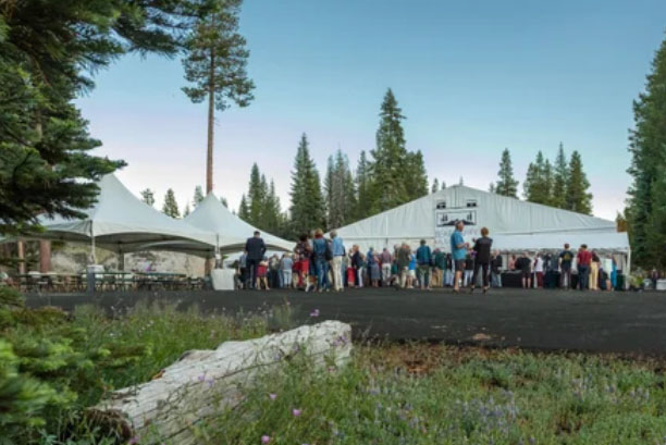 Bear Valley Music Festival Celebrates America 250
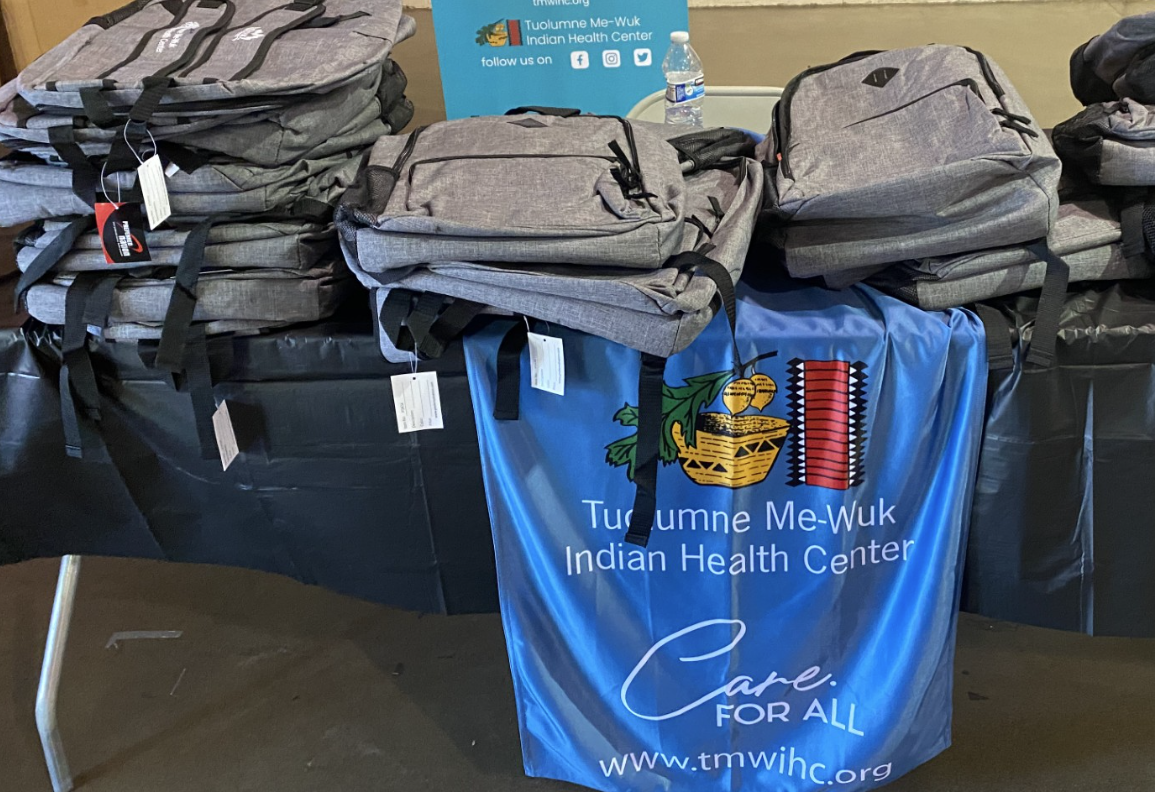 5th Annual ‘Back To School Bash’ Is Planned Along With 'Touch-A-Truck'
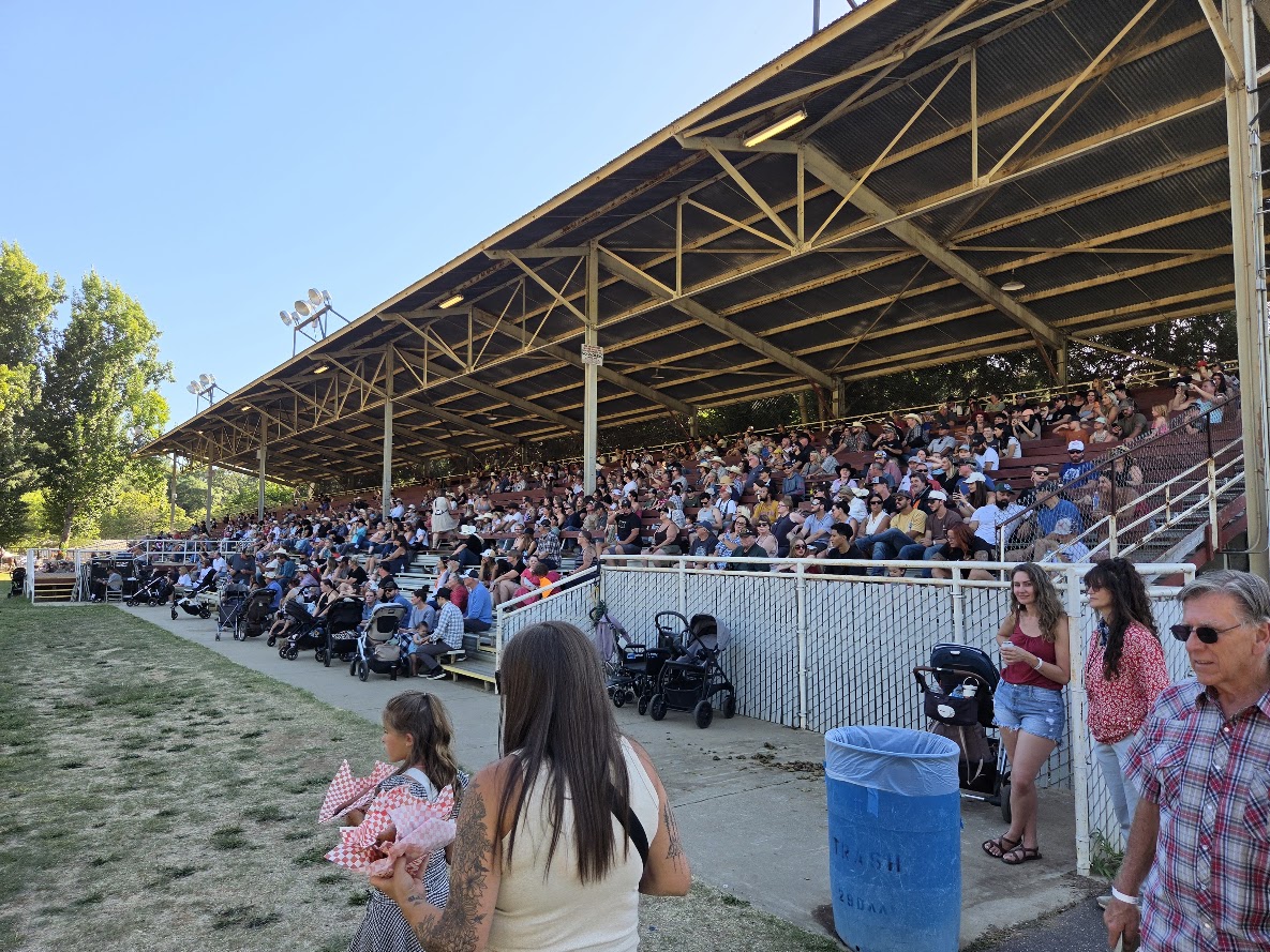 Mother Lode Fair Attendance Up, Livestock Auction Results