The National Weather Service has issued a Wind Advisory for the Mother Lode and the northern San Joaquin Valley, until 10 AM this morning (Friday).
South winds of fifteen to twenty-five mph will continue, with gusts ranging up to forty-five mph.
Gusty winds will cause impacts to unsecured items, including holiday decorations. Tree limbs could be blown down and a few power outages may result.
Winds this strong can make driving difficult, especially for high profile vehicles. Use caution if you must drive.
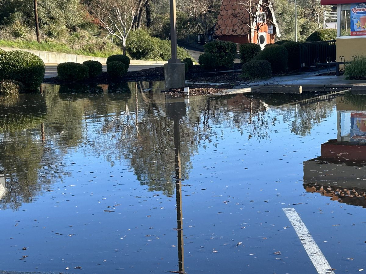
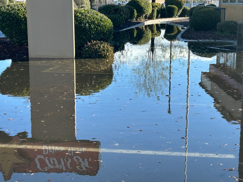
Meanwhile, the overall Flood Watch remains in effect for the Mother Lode, the San Joaquin Valley, Yosemite National Park, and Mariposa County through this afternoon (afternoon). Additionally, the National Weather Service has issued a Flood Advisory for Tuolumne and Calaveras Counties until 6 PM tonight (Friday).
Flooding caused by excessive rainfall will continue. There is some minor flooding in low-lying and poor drainage areas as well as water over the roadways and overflowing poor drainage areas. Some low-water crossings may become impassable.
Excessive runoff is resulting in rises along area rivers, creeks, streams. Small streams and creeks may rise out of their banks. Flooding may occur in urban areas. Storm drains and ditches may become clogged with debris. Extensive street flooding and flooding of creeks and rivers are possible. Area creeks and streams are running high and could flood with more heavy rain. Mudslides and rockslides may occur in the mountain and foothill areas. Debris flows are not expected over recent burn scars in northern California, but do anticipate enhanced runoff in and below the scars.
You should monitor later forecasts and be alert for possible Flood Warnings. Those living in areas prone to flooding should be prepared to take action should flooding develop. Turn around, don’t drown when encountering flooded roads. Most flood deaths occur in vehicles.
Finally, the Winter Storm Warning issued for the western slope of the northern Sierra Nevada and Yosemite National Park, above the Valley floor, will remain in effect until 10 PM tonight (Friday).
Heavy snow is still likely. Snowfall rates of one to two inches per hour are possible at times.
The snow levels range between 4,500 to 5,500 feet. One to thirty inches of additional snowfall is expected.
Total snow accumulations of up to a foot is likely between 4,500 to 5,500 feet. Four to eight feet of snow is possible above the 5,500 foot elevation. The higher you go, the more the snow.
Upper elevation winds could gust as high as sixty mph, which could cause tree damage. Visibilities may drop below a quarter of a mile due to falling and blowing snow. There will also be a heavy snow load on area roofs.
Whiteout conditions are expected and will make travel treacherous and potentially life-threatening. Travel may be very difficult to dangerous to impossible with chain controls, road closures, localized tree damage, power outages, and low visibility due to the combination of heavy wet snow and strong winds. If you must travel, keep an extra flashlight, food, and water in your vehicle in case of an emergency.