




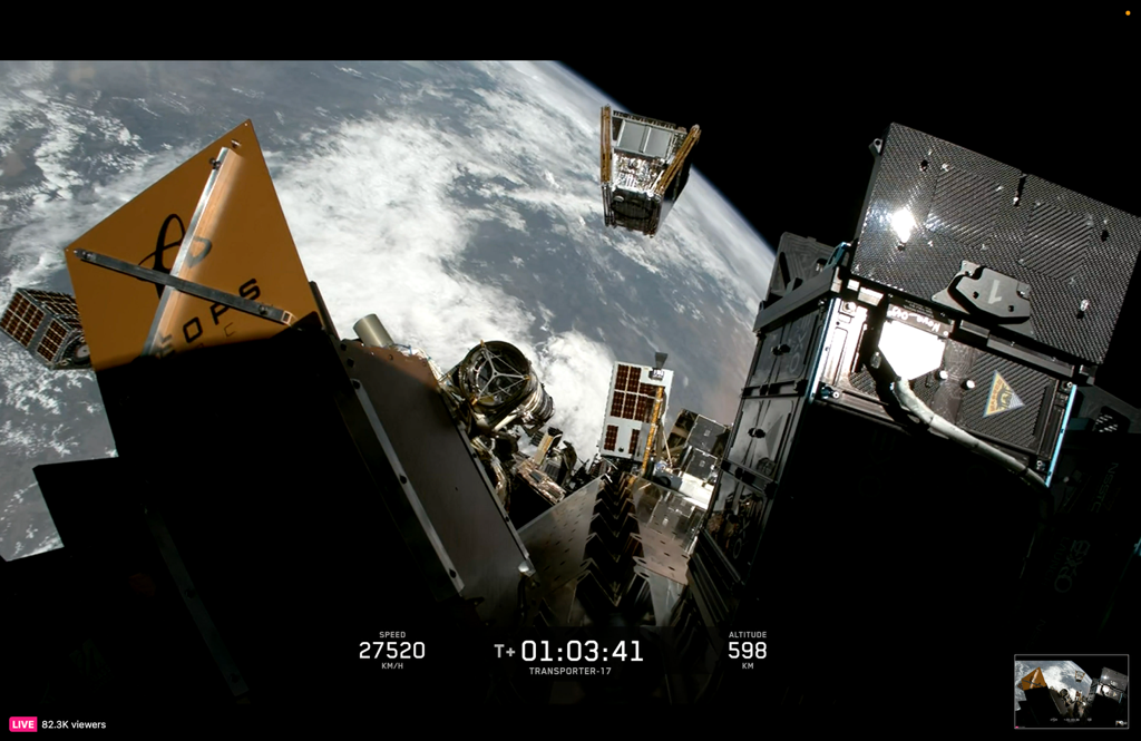
Sacramento, CA– California officials announced the launch of the first three FireSat, marking the start of a satellite network designed to help firefighters identify and track wildfires earlier through space-based monitoring.
The satellites launched from Vandenberg Space Force Base as part of a partnership between the state and the Earth Fire Alliance, a nonprofit coalition working to provide real-time wildfire data to fire agencies worldwide. Built by California-based Muon Space, FireSat is the first satellite system designed specifically to detect wildfires. State officials said the three satellites are expected to begin providing operational wildfire data following a three-month commissioning and calibration period.
The launch is the first phase of a planned constellation of more than 50 satellites that organizers expect to have in orbit by 2030. Once complete, the network is designed to cover the entire planet every 20 minutes and detect fires as small as a schoolyard before they grow into larger incidents. The satellites will collect high-resolution imagery to identify and monitor wildfires in real time, providing firefighters with updated information intended to improve response efforts and situational awareness.
State officials said California has nearly doubled its annual fire protection budget in recent years to $3.8 billion and has invested more than $2.5 billion in wildfire resilience and forest health projects aimed at improving wildfire preparedness and response.