The Winter Storm Warning issued for the western slope of the northern Sierra Nevada, will expire at noon today (Friday) and the Winter Storm Warning issued for Yosemite National Park, above the Valley floor, will expire at 4 PM this afternoon (Friday).
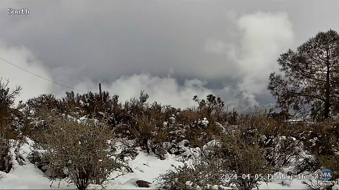
Heavy snow does remains in the forecast, for areas above the 5,000 foot elevation.
The heaviest snowfall is expected this morning (Friday), with lingering snow showers in the area through the late morning hours.
Additional snow accumulations of up to a foot, is likely. The higher you go, the more the snow.
Wind may continue to gust between sixty to sixty-five mph. Very strong winds could cause extensive tree damage.
Very difficult travel conditions exist with chain controls and potential road closures.
There may be low visibility due to combination of wind and heavy snow. If you must travel, keep an extra flashlight, food, and water in your vehicle in case of an emergency.