The California Department of Water Resources conducted its critical April 1st manual snowpack survey at Phillips Station near Lake Tahoe on Wednesday and found minimal measurable snow, a stark indicator of how record hot March temperatures and high elevation rain have erased the California snowpack, months ahead of schedule.
April 1st is often considered the most important reading because it is at the end of the peak precipitation season.
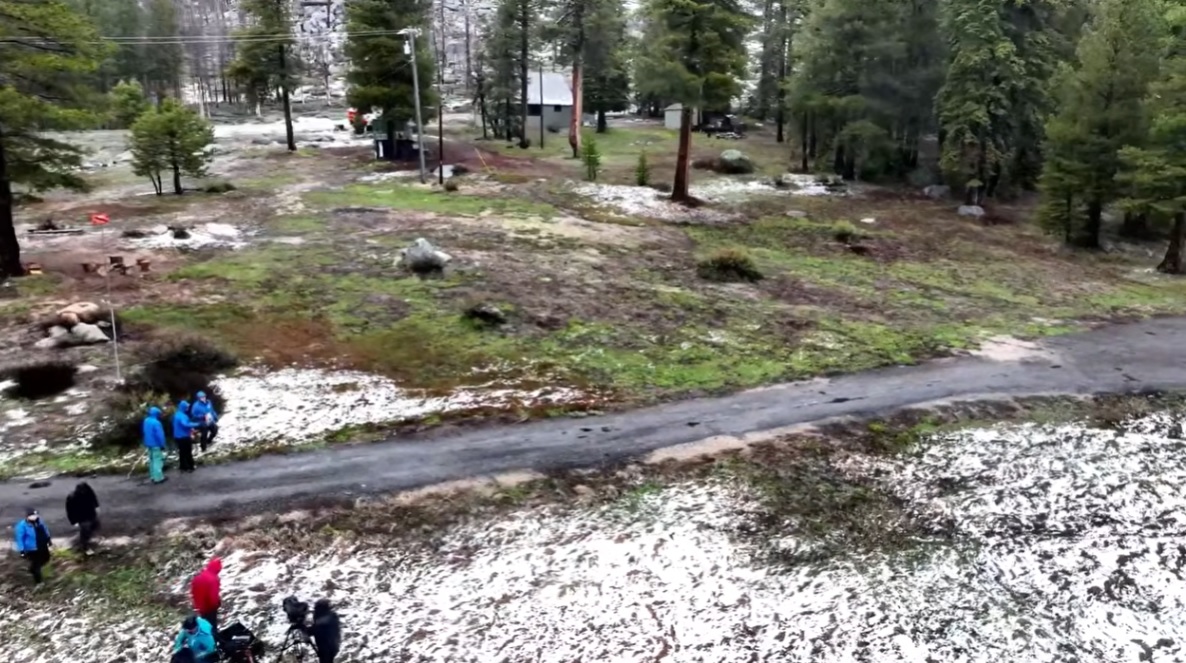
There was some very light snow falling while it was being done. Andy Reising, the Manager of DWR’s Snow Surveys and Water Forecasting Unit, commented, “It is the second-lowest snowpack in about 75 years, since 1950. A lot of it has melted off. Now, Mother Nature blesses us with another little joke of a storm, but here we are. After this point, we will take anything that we can get.”
Reising said it was 18% of the average for the date. Electronic sensors show that the northern Sierra is at only 6%, the central Sierra (which includes Tuolumne and Calaveras counties) is 21%, and the southern Sierra is 32%. California’s major reservoirs are at 121% of average for the date.
The state reached its peak snowpack around February 24 this year, according to DWR.
“It feels like we skipped spring this year and dropped straight into a summer heatwave,” adds DWR Director Karla Nemeth. “What should be gradual snowmelt happened suddenly weeks ago. To me, this is another reminder that aging water systems need to be retrofitted for more volatile precipitation patterns. We’re seeing fewer, warmer storms and shorter wet seasons. Future water supplies will depend upon our ability to capture water when it’s available and manage it more efficiently.”